New European satellite data and their applications in coastal areas
February 1, 2019
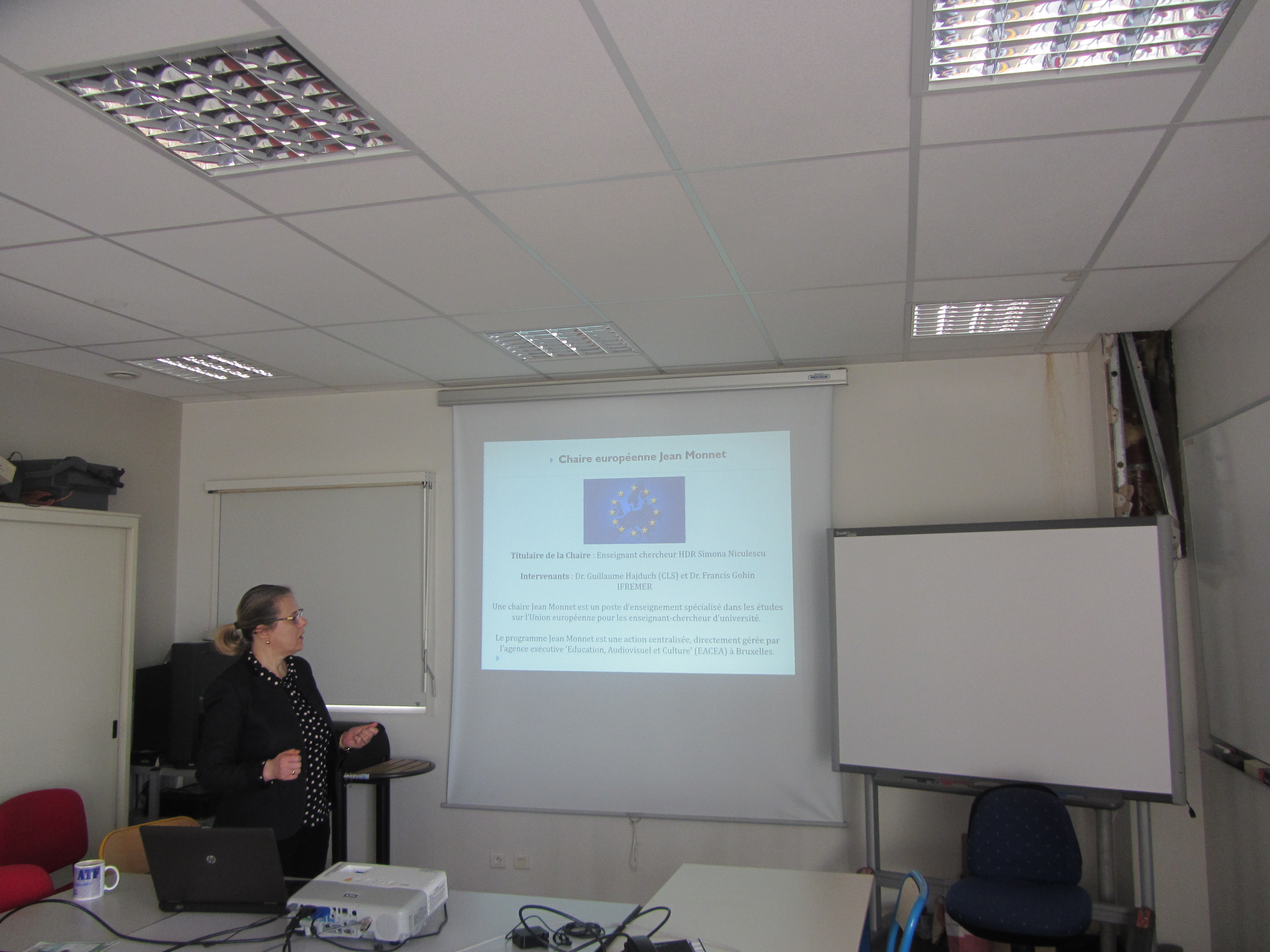
Chaire européenne Jean Monnet
European Spatial Studies of Sea and Coastal zones
Seminar
New European satellite data and their applications in coastal areas
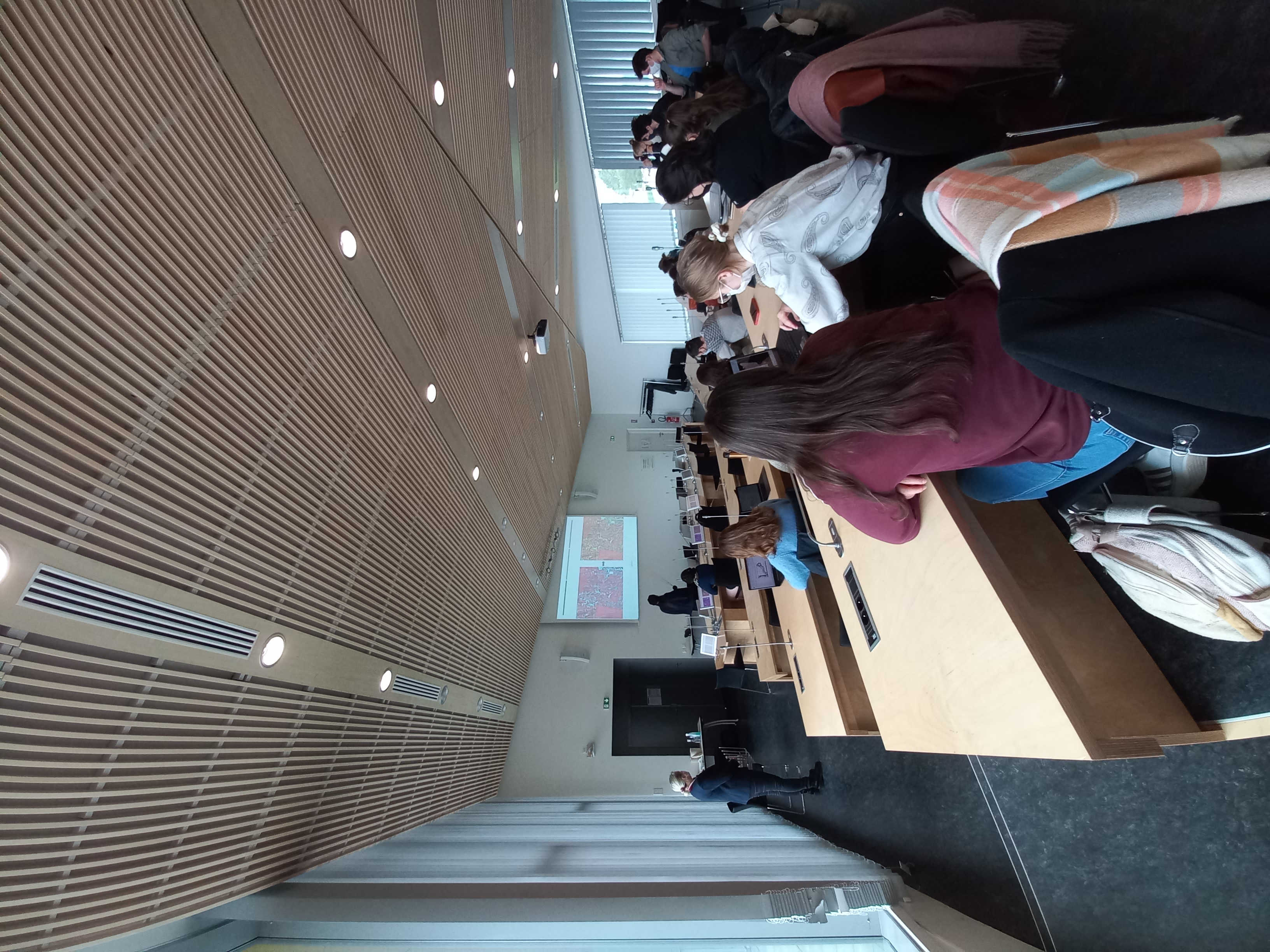
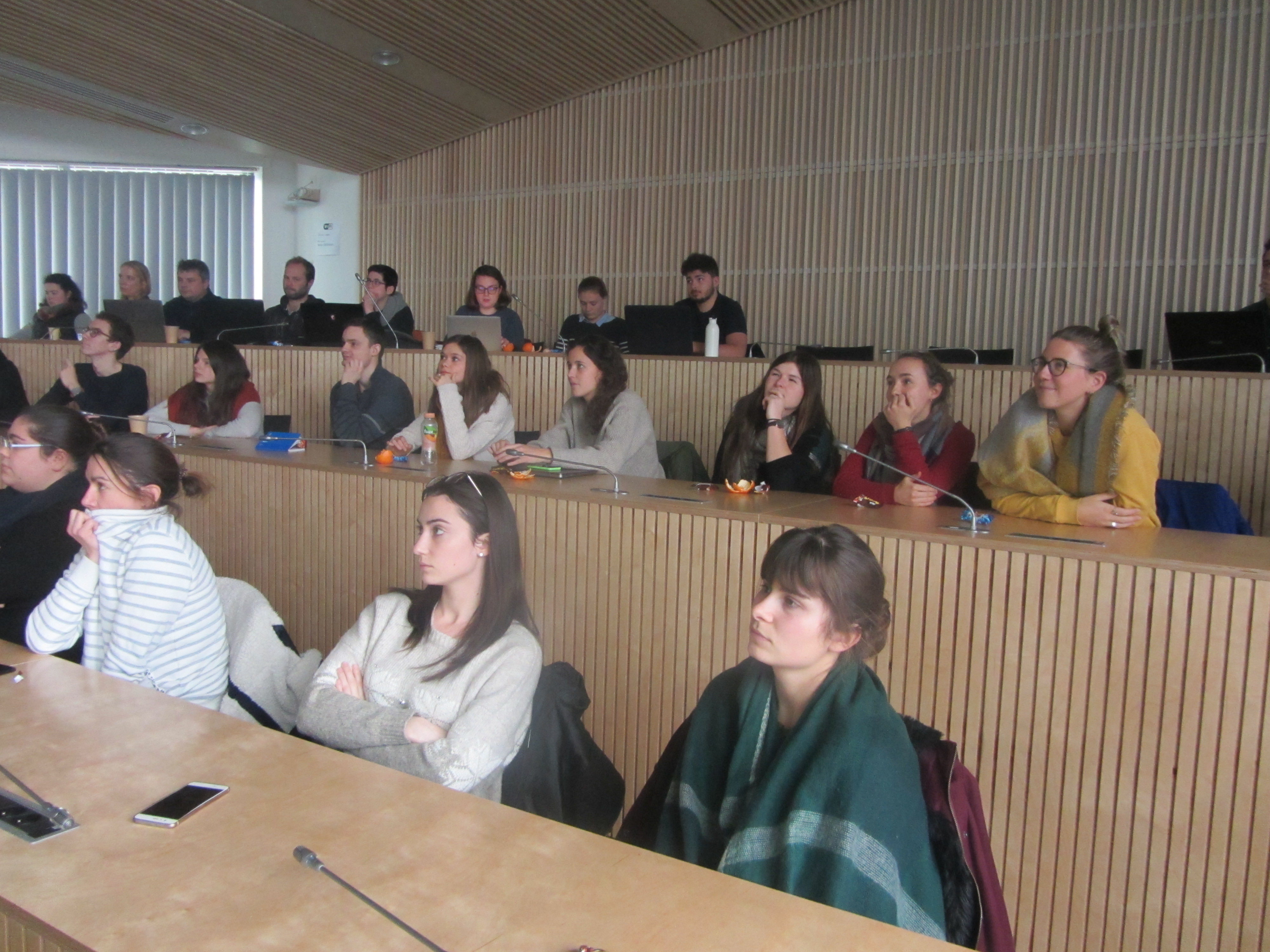
Amphitheatre B de l’IUEM
February 1st, 2019, 14h-16h
Program
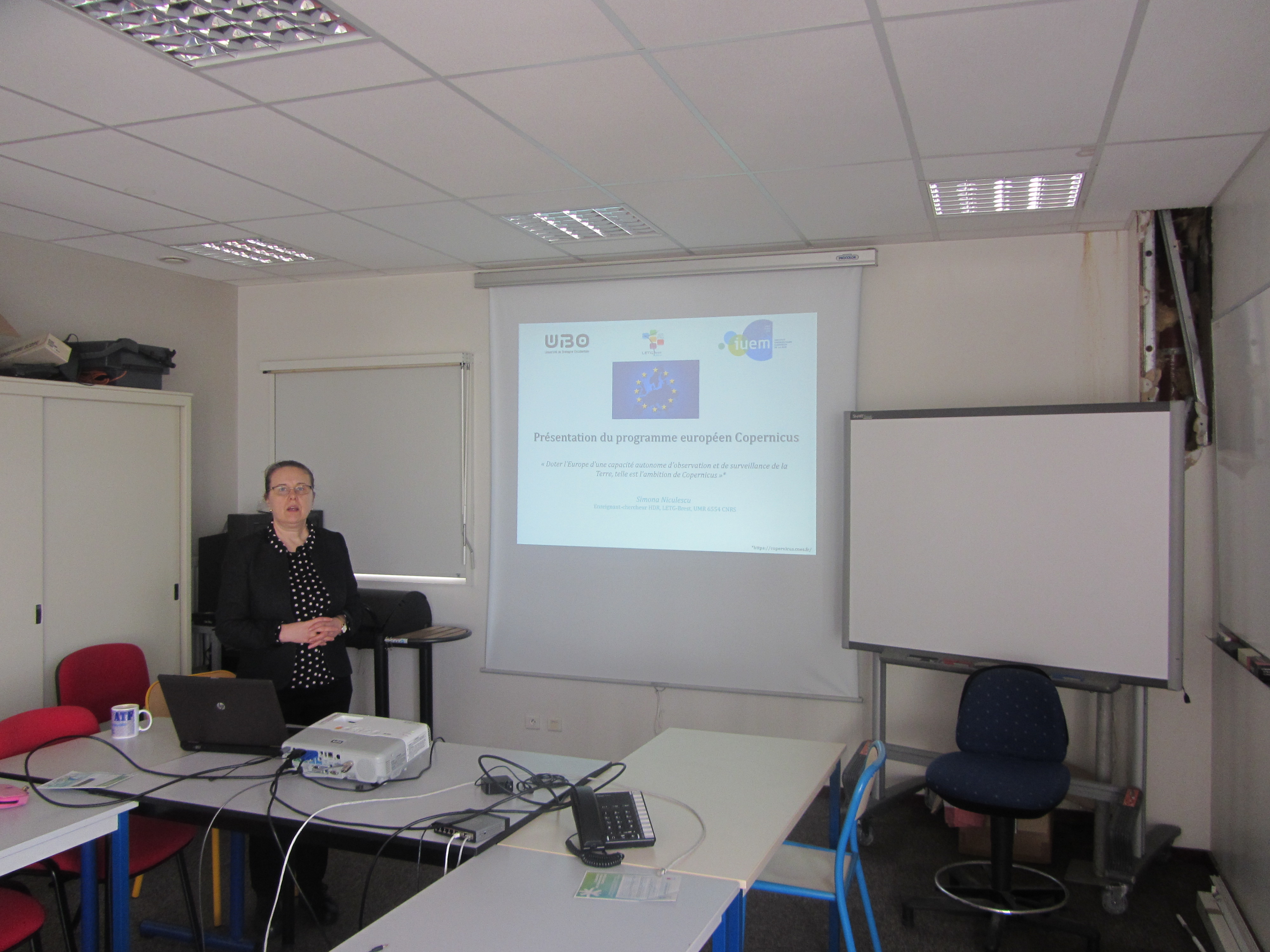
1. European Copernicus program, Simona NICULESCU, Teacher-researcher, LETG-Brest, UMR 6554 CNRS.
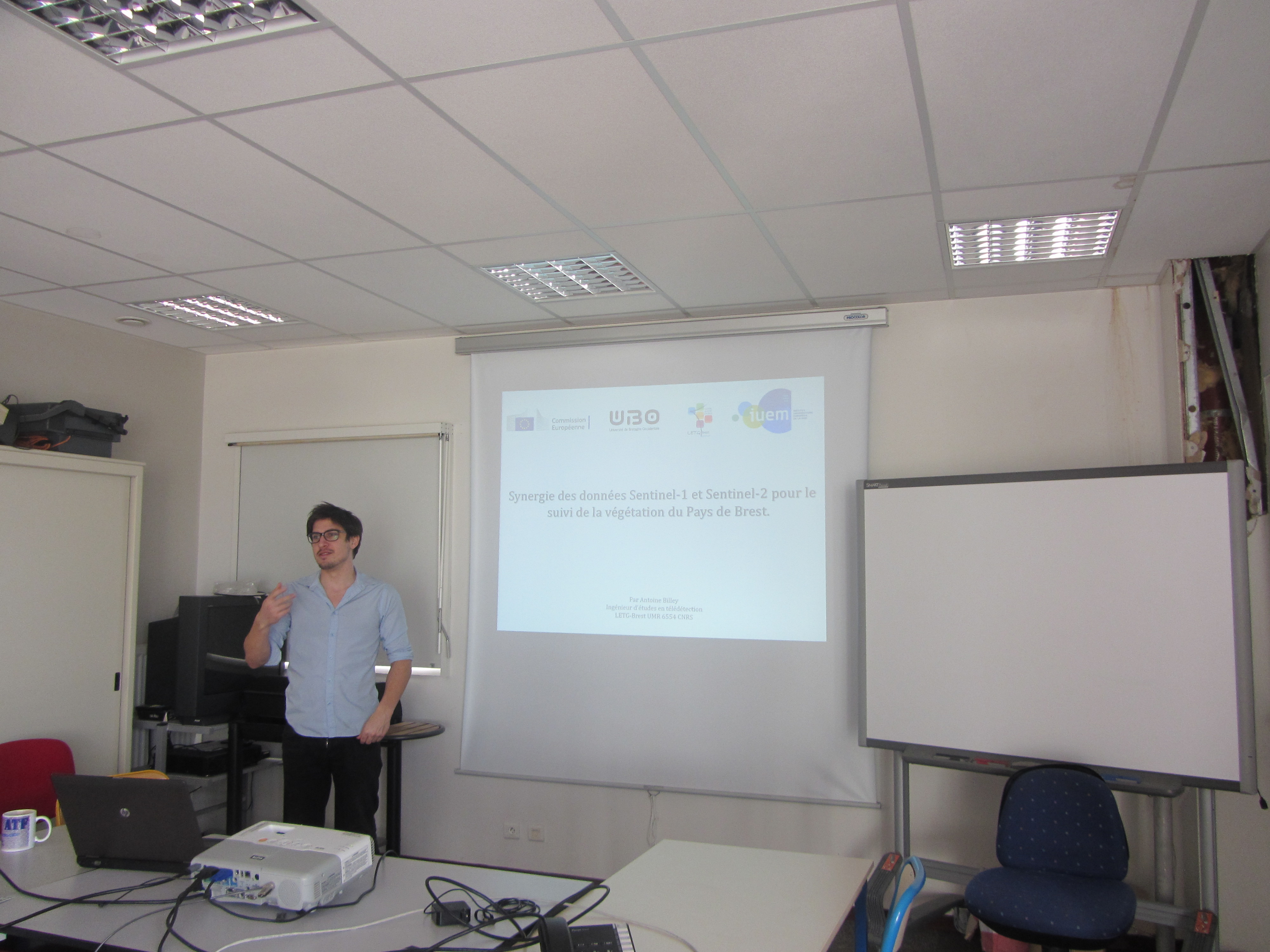
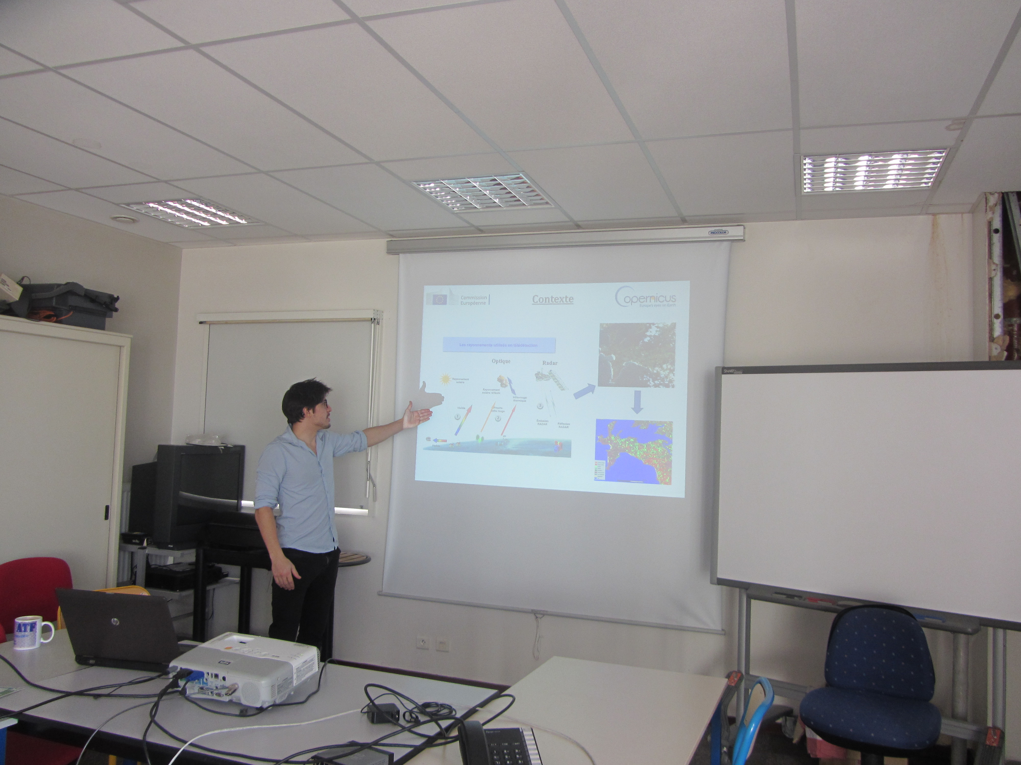
2. Synergy of Sentinel-1 and Sentinel-2 data for vegetation monitoring of the Pays de Brest (France), Antoine BILLEY, Engineer in Remote Sensing , LETG-Brest, UMR 6554 CNRS.
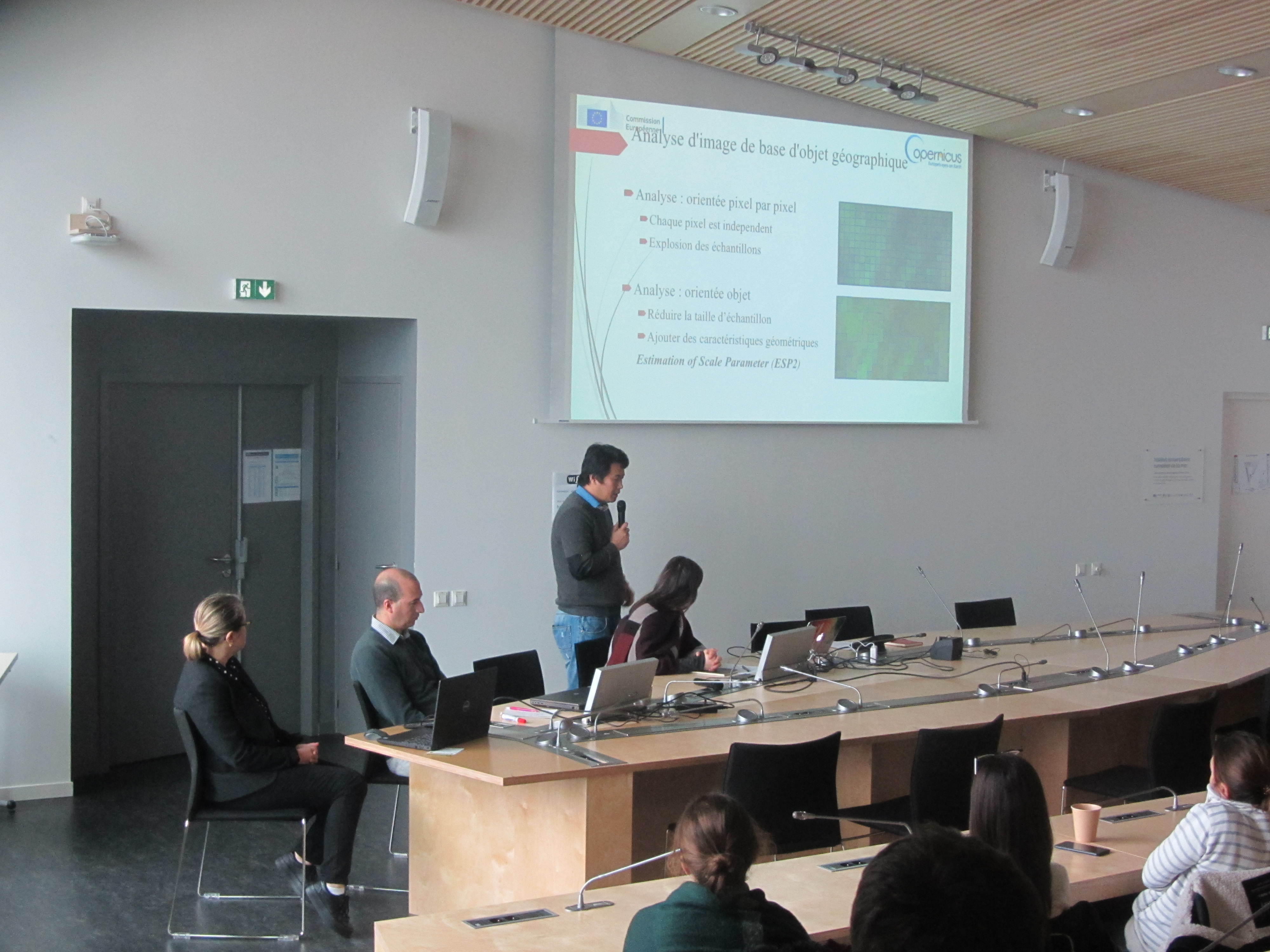
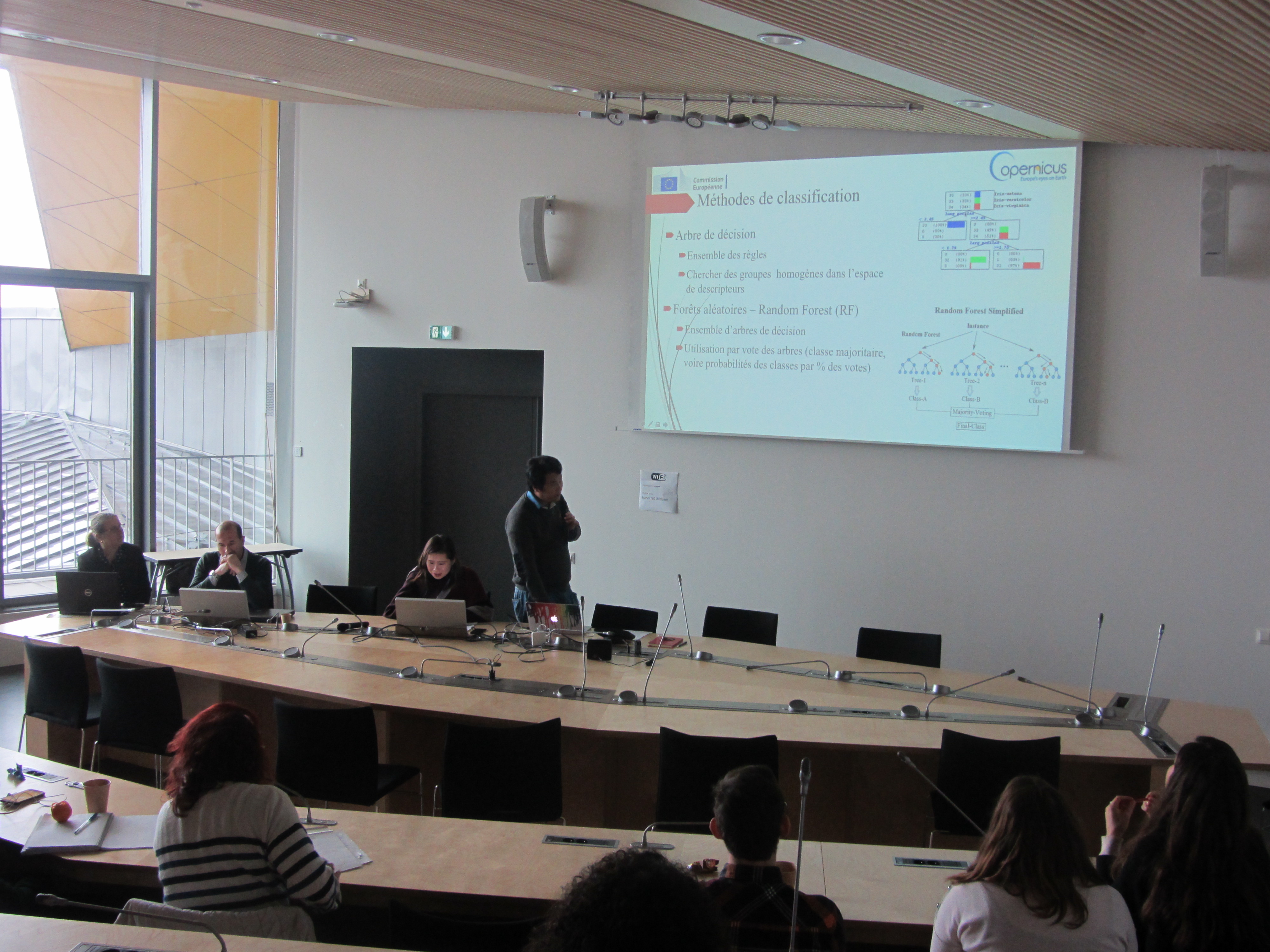
3. GEOBIA for analysis of Coastal Land Use Changes in the Red River Delta (Viêt-Nam), Chi Nguyen LAM, PhD student, LETG-Brest, UMR 6554 CNRS.
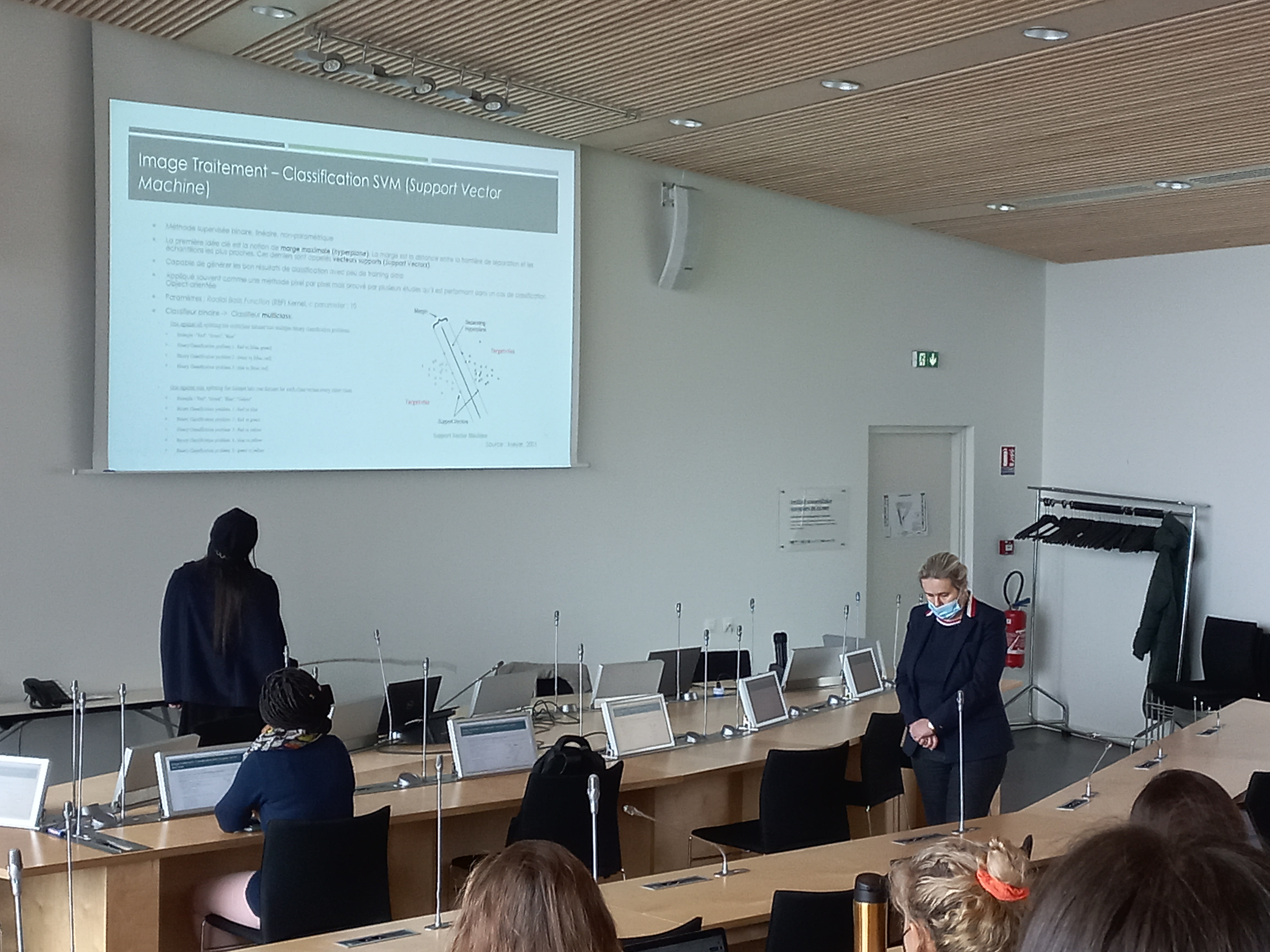
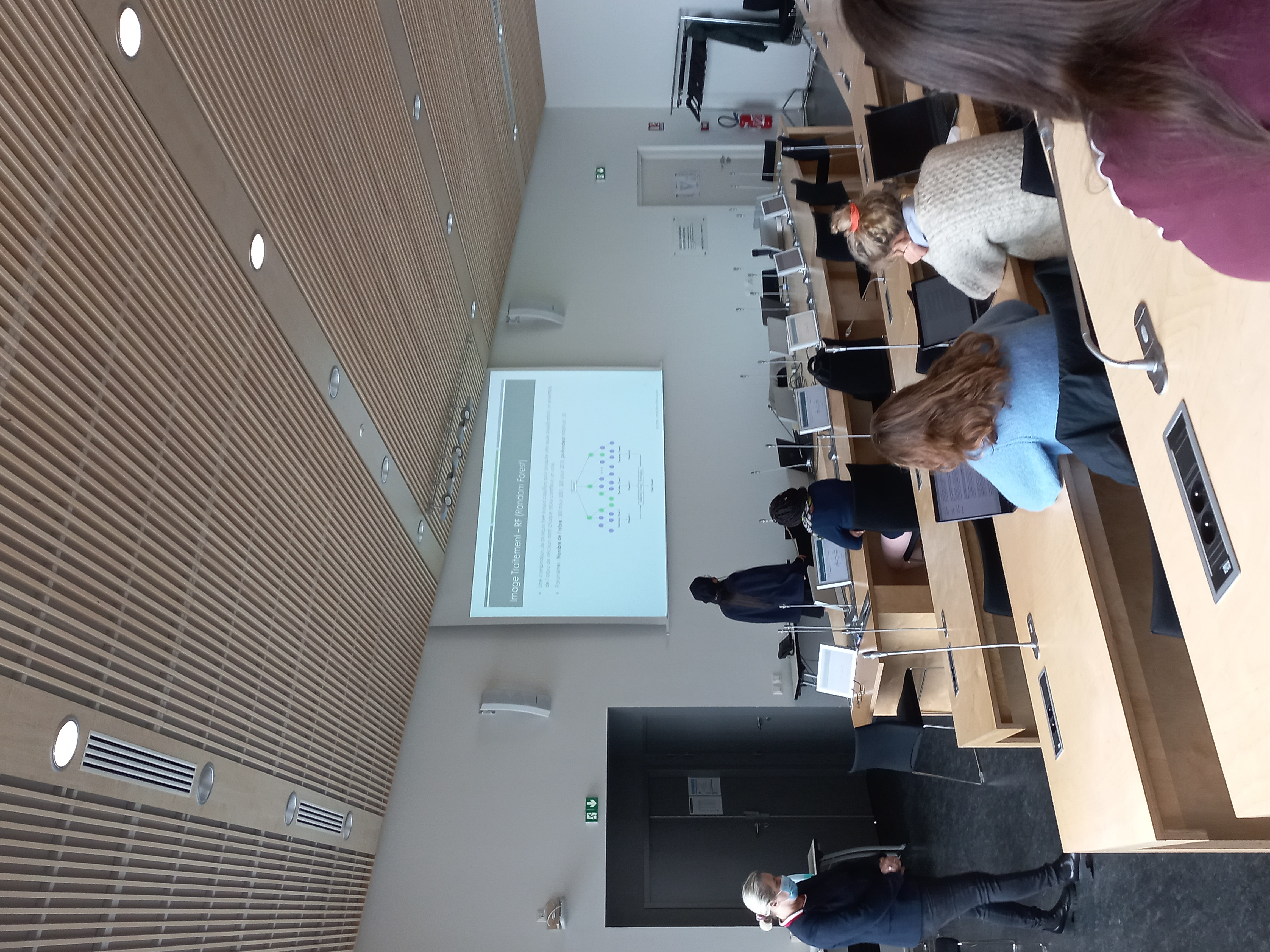
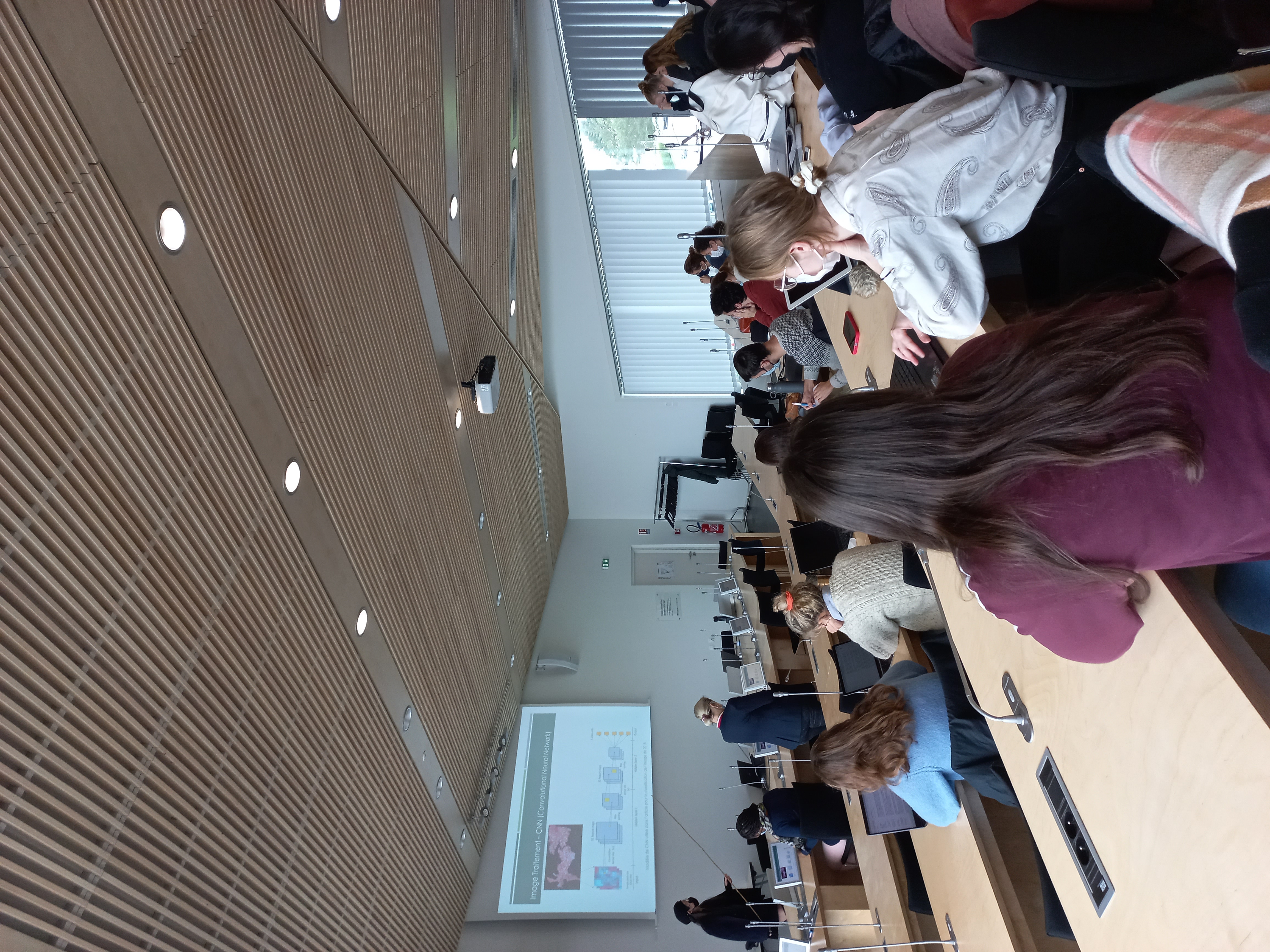
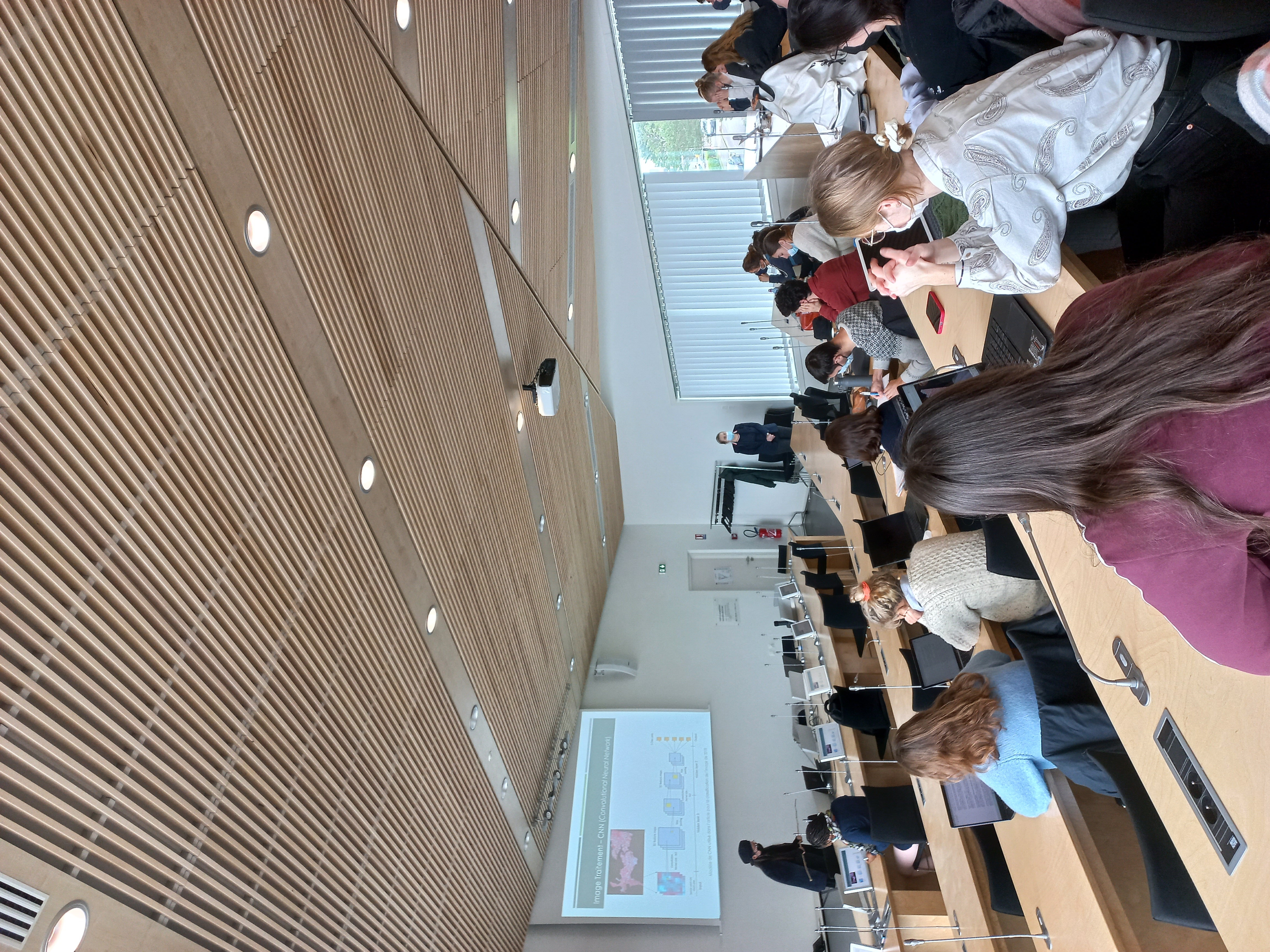
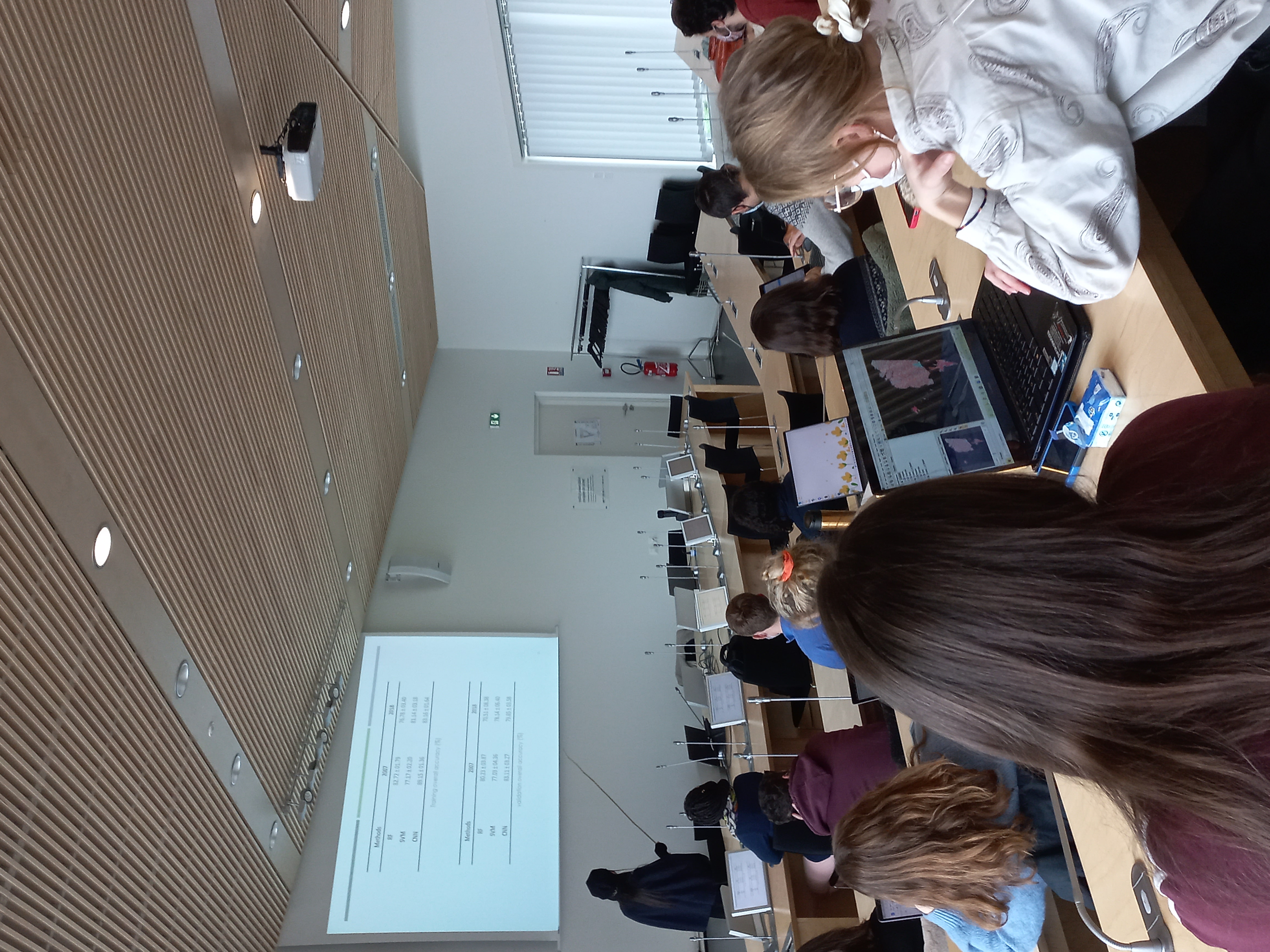
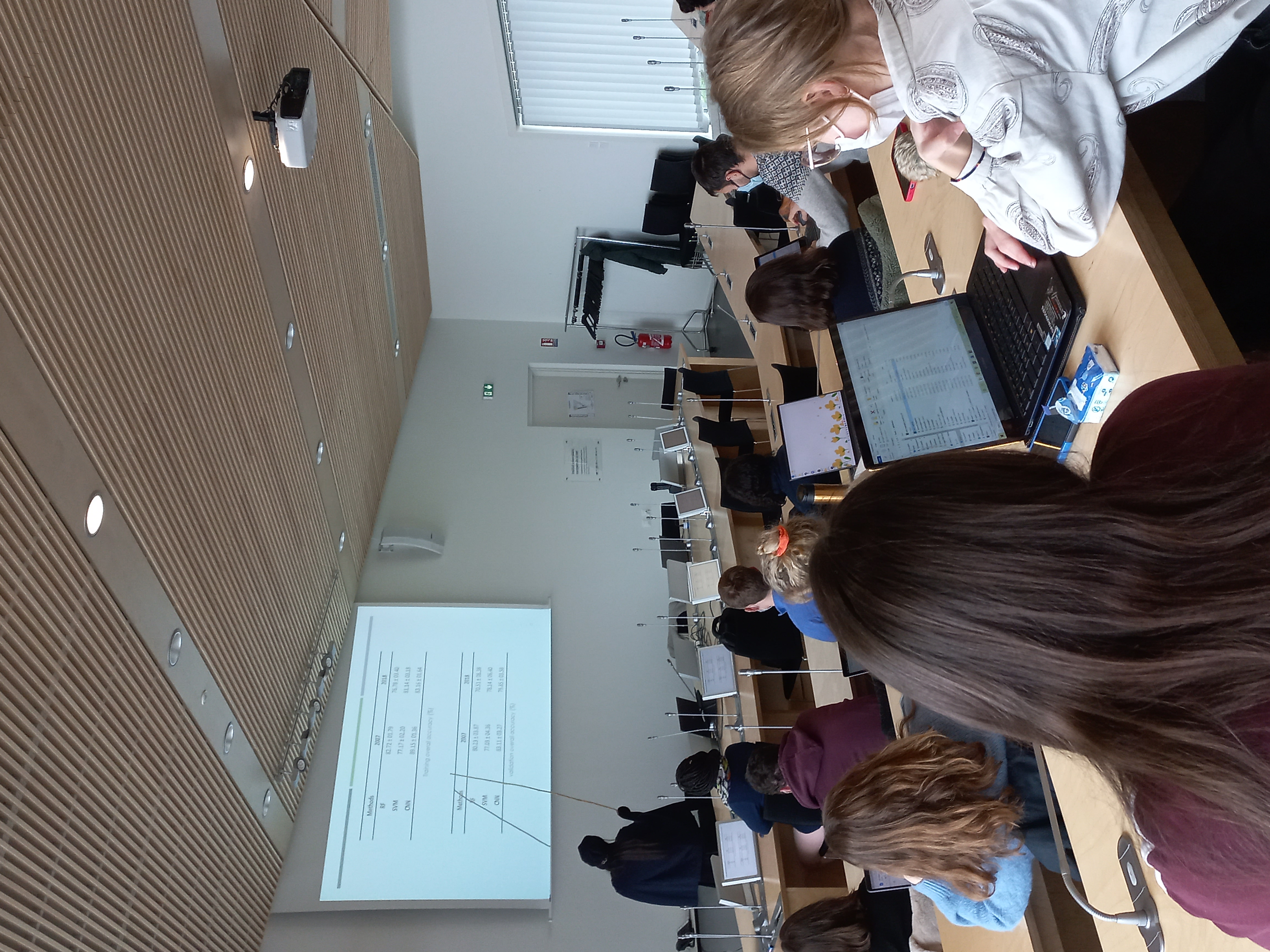
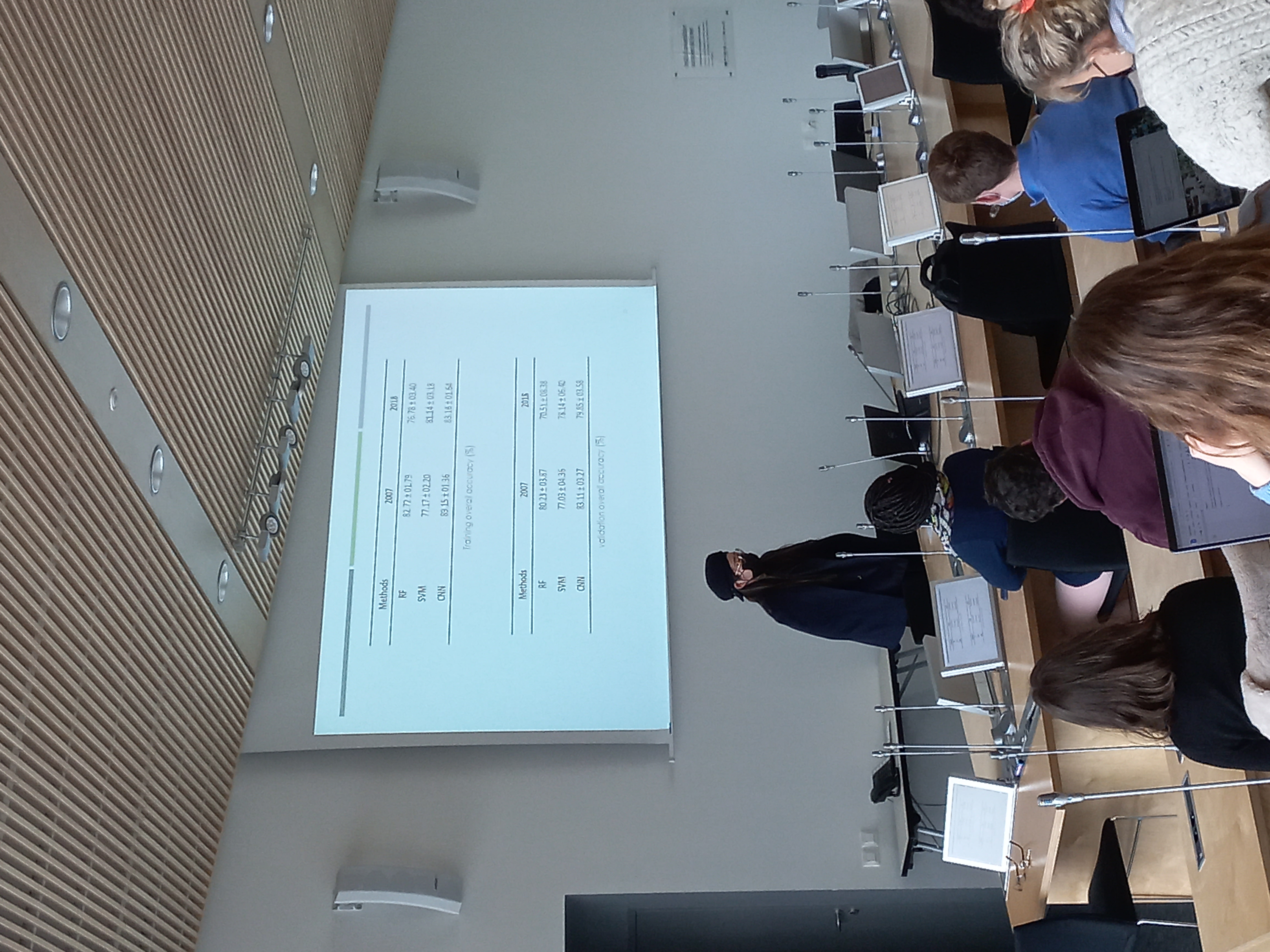
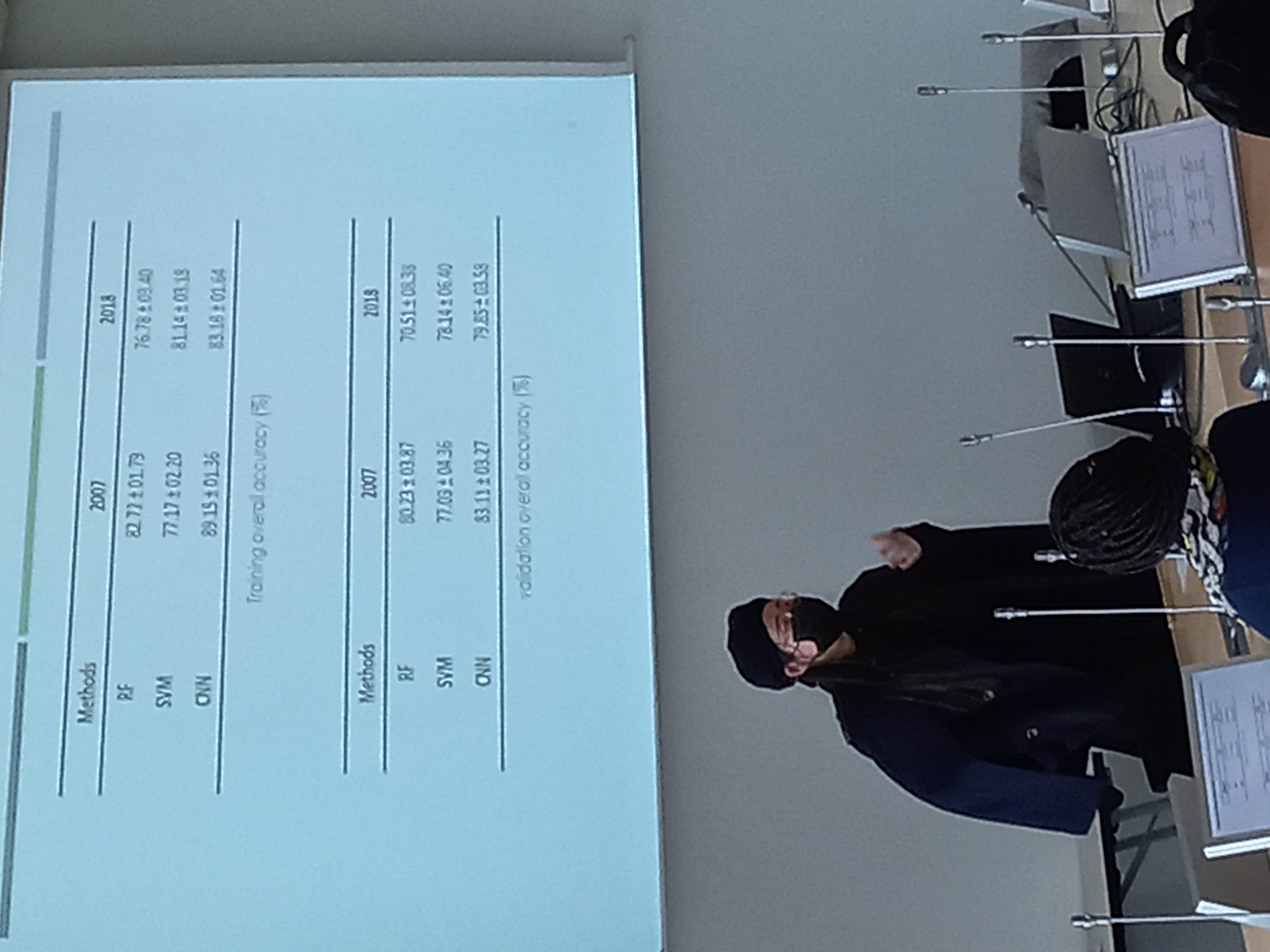
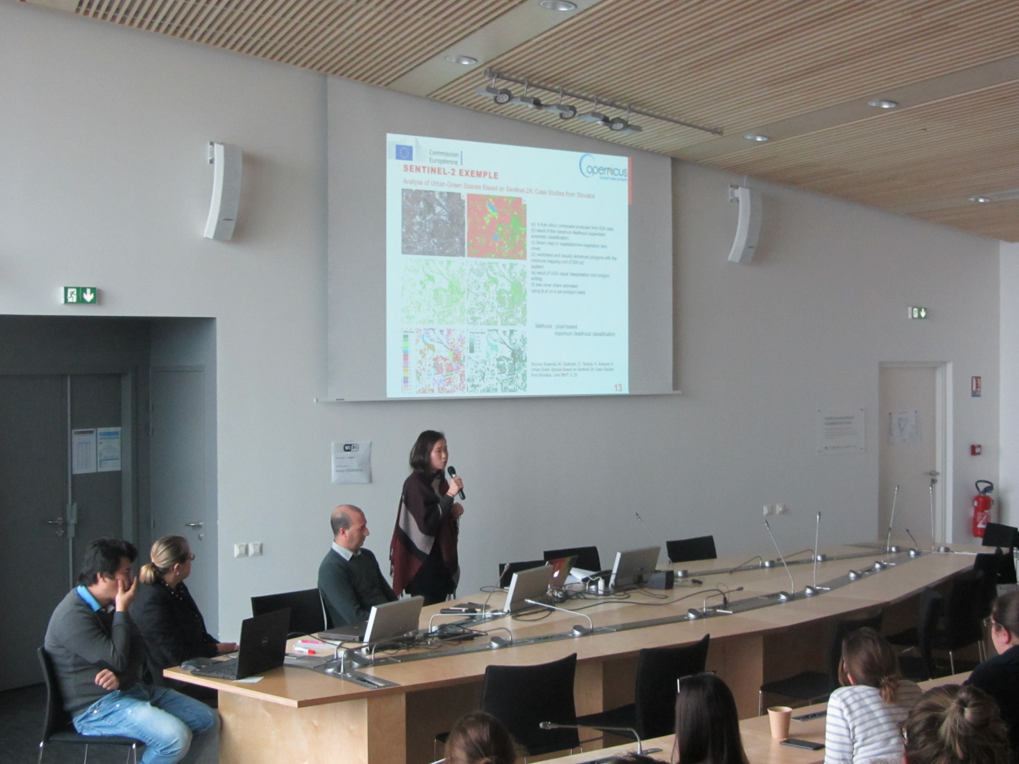
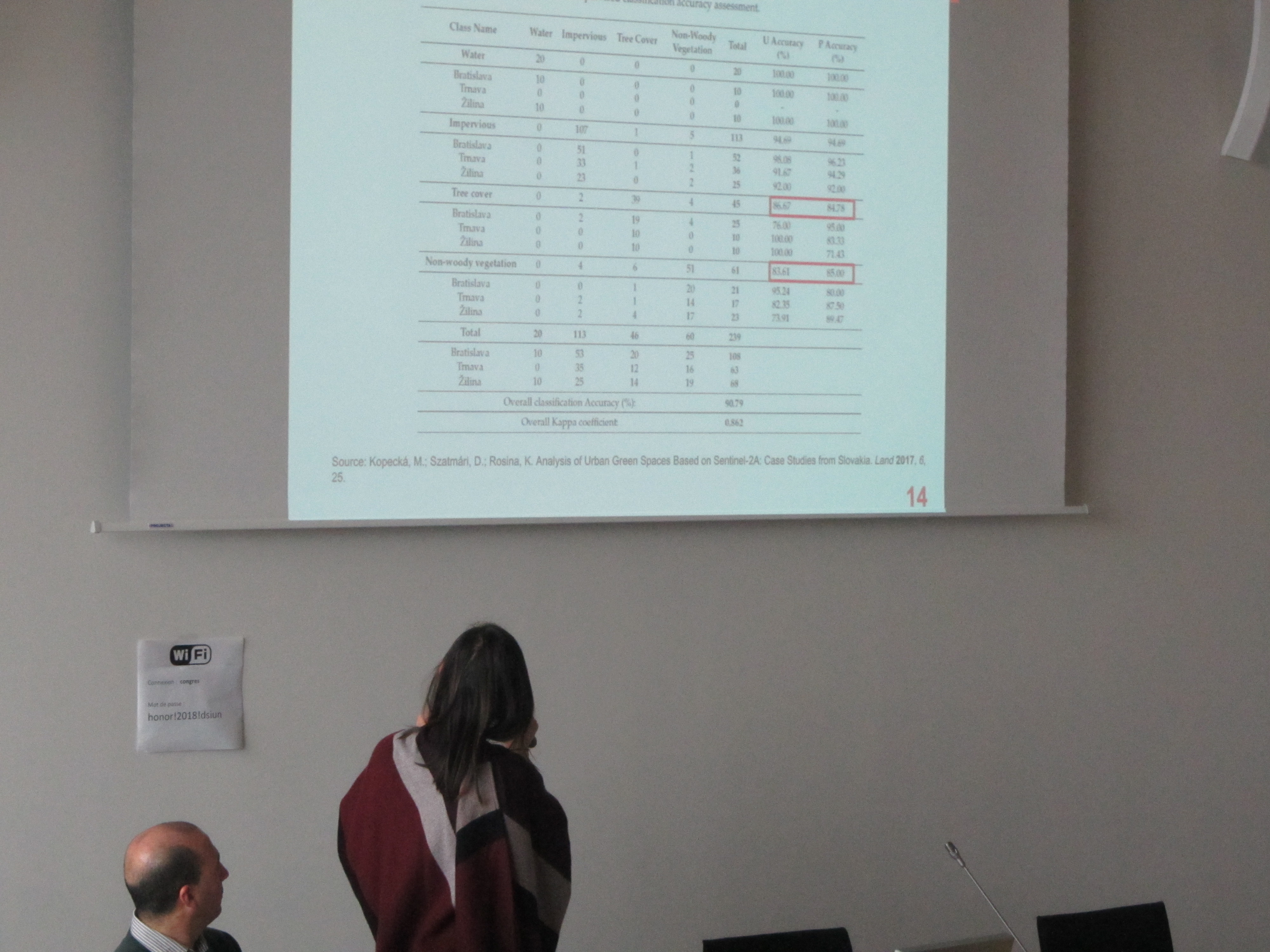
4. Deep Learning and vegetation monitoring in Brest, Guanyao XIE, PhD student LETG-Brest, UMR 6554 CNRS.
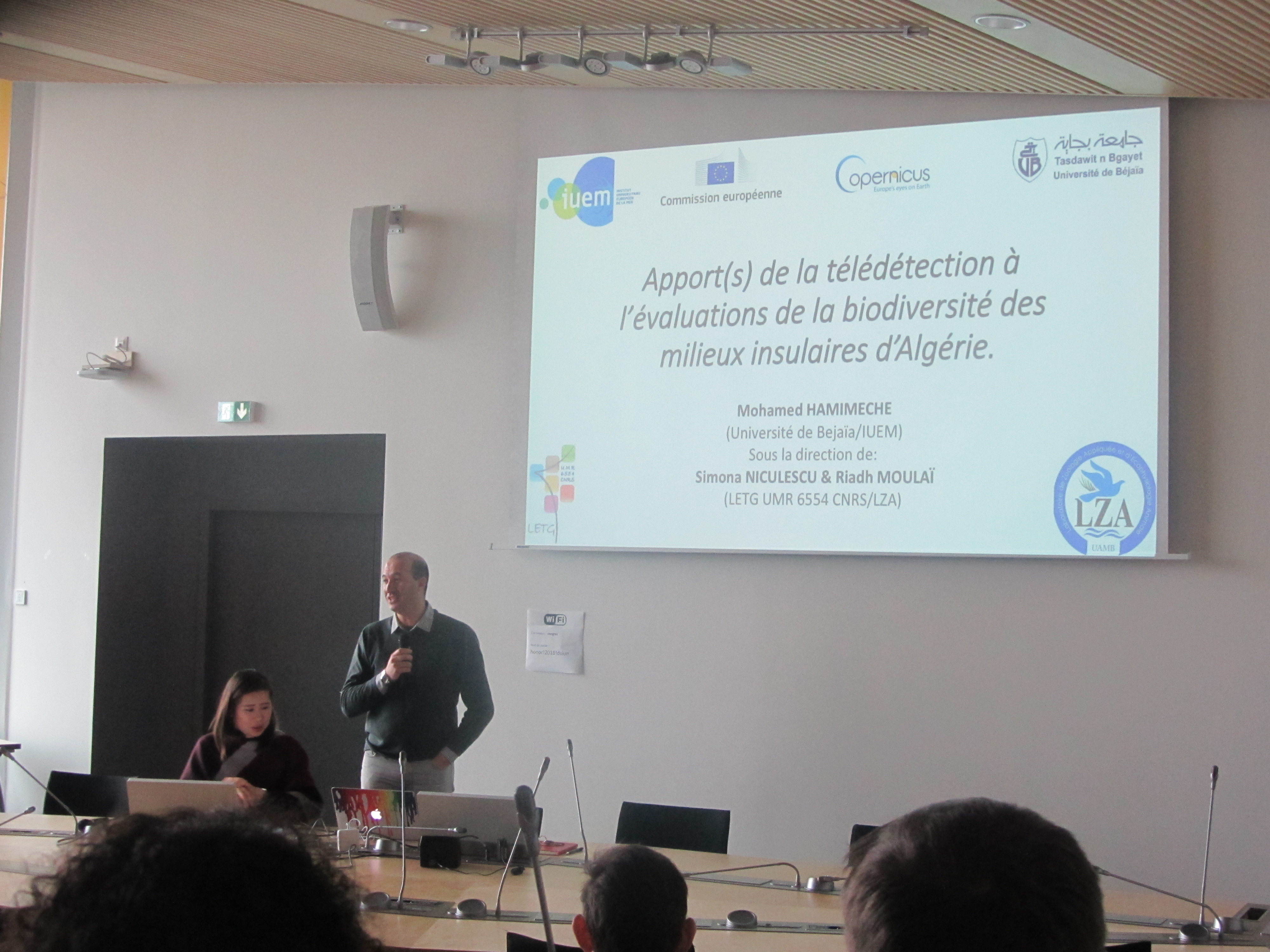
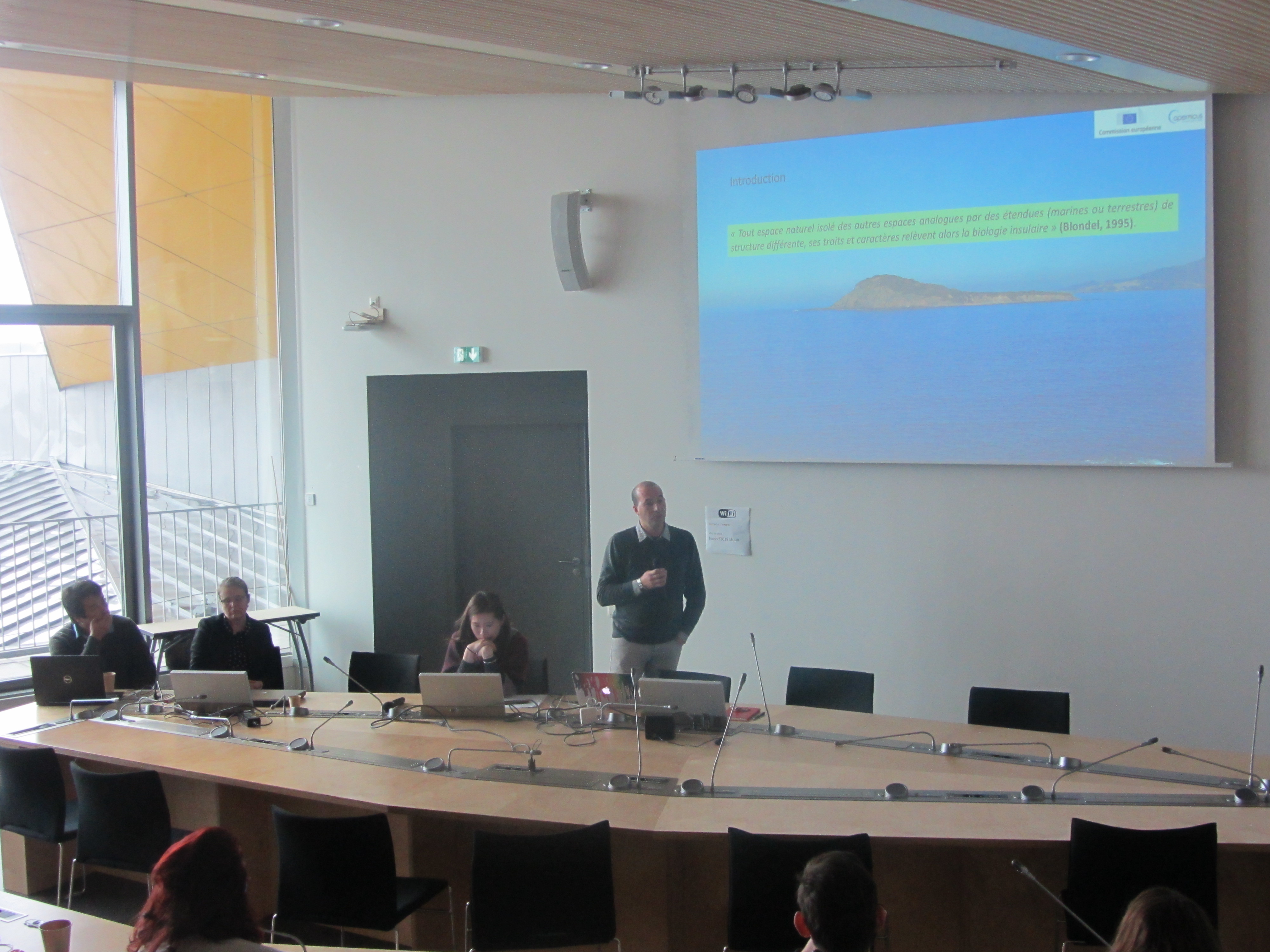
5. Contribution of remote sensing to the biodiversity assessment of the island environments in Algeria, Mohamed HAMIMECHE, doctorant LETG-Brest, UMR 6554 CNRS.